Google's AlphaEarth AI Revolutionizes Global Mapping with 10-Meter Precision Satellite Analysis
Google has unveiled AlphaEarth, a groundbreaking artificial intelligence system that can analyze and map any 10-meter area on Earth using satellite imagery. This technological leap promises to transform everything from urban planning and disaster response to environmental monitoring and agricultural management, marking a significant advancement in how we understand and interact with our planet's surface.
Breaking Down the Technology
AlphaEarth leverages Google's advanced machine learning capabilities combined with vast satellite datasets to provide unprecedented detail in global mapping. The system can process satellite imagery in real-time, identifying features, changes, and patterns across Earth's surface with remarkable precision.
The 10-meter resolution represents a sweet spot between detail and computational efficiency. While higher-resolution imagery exists, AlphaEarth's approach allows for rapid processing of massive geographic areas while maintaining sufficient detail for most practical applications. This resolution can distinguish between individual buildings, track deforestation patterns, monitor crop health, and identify infrastructure changes.
Real-World Applications Transform Industries
Urban Planning and Development
City planners can now access near real-time data about urban sprawl, infrastructure development, and land use changes. AlphaEarth can track construction projects, monitor illegal building activities, and help optimize city layouts for better traffic flow and resource distribution. For example, planners in Lagos, Nigeria, could use the system to better understand rapid urbanization patterns and plan infrastructure accordingly.
Disaster Response and Management
Emergency response teams gain a powerful tool for rapid assessment during natural disasters. AlphaEarth can quickly identify damaged buildings, blocked roads, and affected areas after earthquakes, floods, or hurricanes. During the recent flooding in Pakistan, similar AI-powered mapping helped coordinate relief efforts by identifying the most severely impacted regions within hours rather than days.
Environmental Conservation
Conservation organizations can monitor deforestation in the Amazon rainforest, track glacier retreat in polar regions, and observe wildlife habitat changes. The system's ability to detect subtle environmental changes over time provides crucial data for climate research and conservation planning.
Technical Capabilities and Limitations
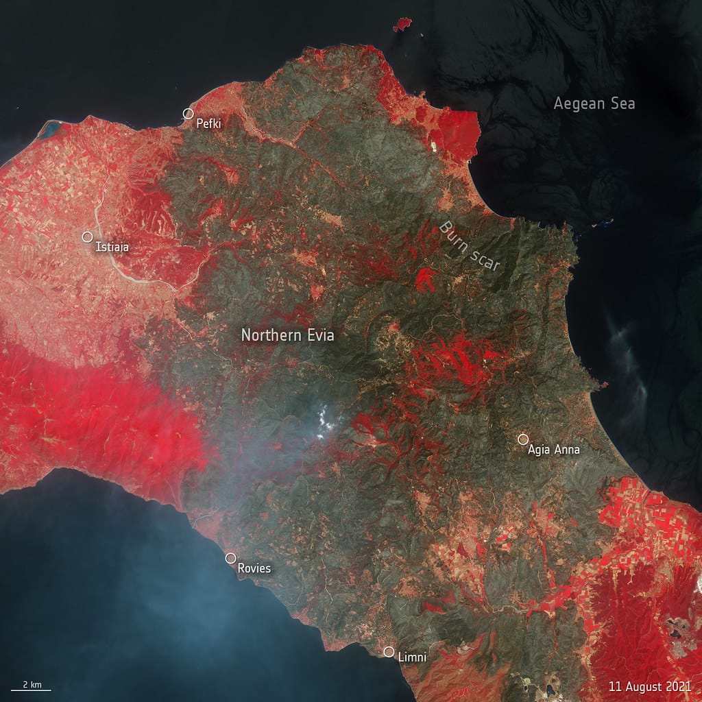
AlphaEarth processes multiple types of satellite data, including optical imagery, infrared readings, and radar data. This multi-spectral approach allows the AI to "see" beyond what human eyes can detect, identifying vegetation health, water content in soil, and even underground features in some cases.
However, the system faces challenges with cloud cover, which can obscure satellite imagery for extended periods in some regions. Google addresses this through temporal analysis, combining multiple images taken over time to create complete maps even of frequently cloudy areas.
The AI's training dataset includes millions of satellite images labeled by human experts, enabling it to recognize patterns and features with increasing accuracy. Machine learning algorithms continuously improve the system's performance as more data becomes available.
Privacy and Ethical Considerations
The capability to monitor any location on Earth raises important privacy and security questions. Google has implemented strict guidelines for AlphaEarth's use, restricting access to sensitive areas and ensuring compliance with international regulations regarding surveillance and privacy.
The company emphasizes that AlphaEarth focuses on analyzing publicly available satellite imagery and detecting large-scale patterns rather than tracking individual activities. However, digital rights advocates continue to monitor the technology's development and implementation.
Market Impact and Competition
AlphaEarth positions Google to compete more effectively with established players in the geospatial intelligence market, including Maxar Technologies, Planet Labs, and Airbus Defence and Space. The integration with Google's existing cloud computing and AI infrastructure gives the company significant advantages in processing speed and scalability.
Early adopters include agricultural companies using the technology for precision farming, insurance companies assessing property risks, and government agencies monitoring border security and environmental compliance.
Looking Ahead: The Future of Earth Observation
AlphaEarth represents a significant step toward real-time global monitoring capabilities. As satellite technology continues advancing and launch costs decrease, we can expect even more detailed and frequent Earth observation data.
The democratization of such powerful mapping technology could accelerate scientific research, improve disaster preparedness, and enable more informed decision-making about environmental and urban challenges. However, success will depend on balancing technological capabilities with privacy protection and equitable access to these powerful tools.
Google's AlphaEarth demonstrates how artificial intelligence can transform our understanding of Earth's dynamic systems, offering unprecedented insights into our planet's changing landscape while raising important questions about surveillance, privacy, and the responsible use of powerful monitoring technologies.
